Sitting at an elevation of 7,242 feet (2,208 meters) above sea level is South Dakota’s highest point, Black Elk Peak. One of the most popular destinations in the Black Hills, you can see four states on a clear day—South Dakota, Wyoming, Montana, and Nebraska.
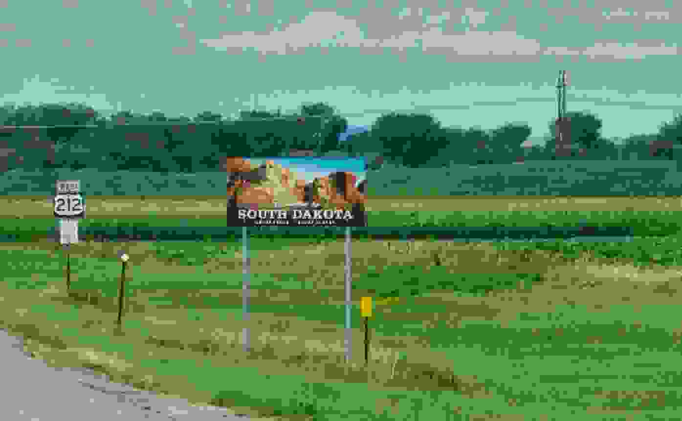
From the faces of Mount Rushmore to the fantastic caverns of the Wind Cave, the Black Hills of South Dakota offer some spectacular sights. With over five million acres of forest and mountainous terrain, there’s a lot of natural beauty and adventure to be found here.
If you’re ready to take your legs on a hike, you can climb to the peak of South Dakota’s tallest mountain—Black Elk Peak. Here to give you the scoop on the highest point of The Mount Rushmore State and show you how to save on your South Dakota car insurance costs
is Jerry
, the no.1 rated car insurance
super app helping you find the best deals on car insurance. RECOMMENDEDNo spam or unwanted phone calls · No long forms
What is the highest elevation in South Dakota?
At an elevation of 7,242 feet (2,208 meters) above sea level, Black Elk Peak is the highest point in South Dakota. Located in Custer State Park in the Black Hills of Western South Dakota, Black Elk Peak is the highest summit in the United States east of the Rocky Mountains. In 2016, the mountain’s name was officially changed from Harney Peak to Black Elk Peak to honor Black Elk, the notable Lakota Sioux medicine man that the Wilderness Area was named after.
The peak also features a stone fire tower built by the Civilian Conservation Corps in 1938. Although no longer in use, the tower remains a testament to the quality of craftsmanship and work that went into construction almost a century ago—stone, cement, and sand were hauled up over three miles daily to complete the tower.
If you’re up for the challenge of hiking Black Elk Peak to take in the spectacular views, several paths carry you to the top. However, the 7.9-mile loop beginning at Sylvan Lake is the most popular. Although it’s only a 1,100-foot to 2,200-foot elevation gain, the slow but long incline will get those legs fired up.
How do I get to Black Elk Peak?
If you’re looking for some epic panoramic photos, hitting the top of Black Elk Peak will tickle your fancy. There are many ways to make the ascent to the top ranging in difficulty and distance.
Here are some of the most popular trails to get to Black Elk Peak:
To get to Sylvan Lake, take Highway 16 west for approximately 30 miles to Hill City, South Dakota. Continue through Hill City on Highway 16 and turn east on Highway 87. Follow the 87 for about 6.1 miles to the Sylvan Lake recreation area on the north side of the road.
1. Sylvan Lake #9
Distance (roundtrip): 7 miles
Find the trailhead from the parking lot of Sylvan Lake. It’s the most traveled and most direct route to the peak but does require paid entry into Custer State Park.
2. Little Devils Tower #4:
Distance (roundtrip): 7 miles
Access the trailhead at the Sylvan Lake parking lot or drive further to Needles Highway (Highway 87) and look for the trailhead marked Little Devil’s Tower. This is connected to Trail #4 and cuts off about half a mile from the trail distance. The trailhead sits one mile east of Sylvan Lake on Highway 87 (Needles Highway). Take Trail #4 to Trail #3 and, later, to #9.
This trail does require paid entry into Custer State Park.
3. Willow Creek Trail #9
Distance (roundtrip): 12.6 miles
Difficulty: Moderate to difficult
The trailhead sits along SD-244 about six miles west of Mount Rushmore. Walk past the large map to a grass parking lot and look for the Trail #8 sign. Follow the trail to the left until you connect with Black Elk Peak Trail #9.
4. Grizzly Bear Trail #7
Distance (roundtrip): 12.6 miles
You can access the trailhead from Forest Road 345, about eight miles southeast of Sylvan Lake on the Needles Highway. Take Grizzly Bear Creek Trail #7 to either Trail #3 or Trail #9 and hike to the summit.
5. Cathedral Spires Trailhead #4A
Distance (roundtrip): 7 miles
The trailhead is about two miles east of Sylvan Lake on Needles Highway. The trail will eventually link with Trail #4 to access Black Elk Peak Trail.
6. Horsethief Lake
Distance (roundtrip): 13 miles
The trailhead is about two miles west of Mount Rushmore National Memorial on State Highway 244. Start your hike on Horsethief Lake Trail #14 and follow Grizzly Bear Creek Trail #7, Norbeck Trail #3, and Black Elk Peak Trail #9.
If you’re planning to visit Black Elk Peak, note that it’s in the Black Elk Wilderness Area, and travel is restricted to non-mechanized, non-motorized transportation, and groups are capped at 25 “beating hearts”—including pets.
Things to do around Black Elk Peak
Whether you decide to hike the summit, there are plenty of other activities around Black Elk Peak just a short scenic drive away.
Choose between foot, hoof, or wheel to see the sights of Custer State Park
, where you’ll find wild buffalo and an abundance of nature's bounty, or take in the serene sights from the water on a kayak, canoe, or stand-up paddleboard. If your legs need a break from all the climbing, why not hit the highways with the top-down for one of South Dakota’s scenic drives? Whether it’s the Peter Norbeck Scenic Byway, the 18-mile Wildlife Loop, or Iron Mountain Road, have your camera handy.
Once you’ve worked up an appetite, it’s time to head out for some grub. Check out Legion Lake Lodge for a meal with a view or Blue Bell Lodge if your tastebuds are feeling adventurous—they offer up some ‘eclectic’ Western flavors, including rattlesnake sausage.
There’s no shortage of activities to do around Black Elk Peak. Check out the Custer State Park Resort web page for more details on activities, lodging, and dining.
What city has the highest elevation in South Dakota?
With an elevation of 5,315 feet (1,620 meters), Custer is the highest city in South Dakota—and the twelfth highest in the United States. Located just minutes away from some of South Dakota’s most breathtaking scenery, there’s a lot more going on in Custer besides elevation.
Where to find affordable car insurance
If you aren’t up for trekking to the top of Black Elk Peak, you may be up for saving money on your South Dakota car insurance
. With Jerry
, the top-rated car insurance app, saving money on your car insurance has never been easier. All you have to do is download the app, enter your information, and connect with one of Jerry’s experts, finding you the best deals from over 50 top insurance providers in seconds. Once you find the policy that works for you, they’ll walk you through the sign-up process and help you cancel your old policy. And when it comes time to renew, they’ll even shop around, so you’re always getting the best rate.
By shopping with Jerry, you could save an average of $887 a year on car insurance!
“You must get this app! It’s my first time getting my own insurance, so I called a few companies myself. Their rates priced me around $600/month. I used Jerry
and my rates went down to $250/month. I’m so happy!” —Melissa C.
 4.717k Ratings
5M+Drivers Joined
7M+Cars Garaged