Route—each taking just under 13.5 hours if you drive straight through.
Here are the general directions for each route:
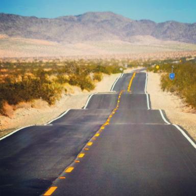
The Rockies Route: Leave Phoenix via Interstate 17, then cut through the Coconino National Forest via Route 89. Take Route 160 East past the Grand Canyon, then Route 191 North past Canyonlands and Arches National Parks. Finally, use Interstate 70 East to cut through the Rockies on your way to Denver.
The New Mexico Route: Use the Red Rock Scenic Byway to leave Phoenix, and switch to Route 89A at Sedonia. Follow Route 89, which runs just east of Grand Canyon National Park, to Route 160. Then, to leave Arizona, use Routes 87, 260, 277, and 377. You’ll drive through the Tonto and Apache-Sitgreaves National Forests. Hop onto Interstate 40, past Bluewater State Park, then Interstate 25, which you’ll take through Colorado Springs and to Denver.
You’ll want to choose your route based on what you want to see and whether you plan to stop to get in some hiking, camping, or other activities. Keep in mind that parts of these routes can get quite snowy if you’re traveling in the winter.
. Jerry can provide you with competitive quotes in under a minute and makes swapping just as effortless. The average user saves more than $800 per year!
Jerry partners with more than 50 insurance companies, but our content is independently researched, written, and fact-checked by our team of editors and agents. We aren’t paid for reviews or other content.